Wa’ahila Ridge Trail Hike – Honolulu, Hawaii
Wa’ahila Ridge Trail is one of a series of hiking trails in the ridges and valleys on the outskirts of Honolulu. Located at the top of St. Louis heights, this moderately challenging hike offers nice views and varied terrain.
Compared to the Wilhelmina Rise hike on the next ridge over, this hike has a little bit less of the steep elevation changes and rock “scrambling.” It also has more shade cover than Wilhelmina, although it seems to stay a bit more muddy in some places.
Our preference is still the Wilhelmina hike because of the many panoramic views early on, but this one at Wa’ahila State Park is a really nice moderate hike if you’ve already conquered Wilhelmina Rise.
The Wa’ahila Ridge Hike
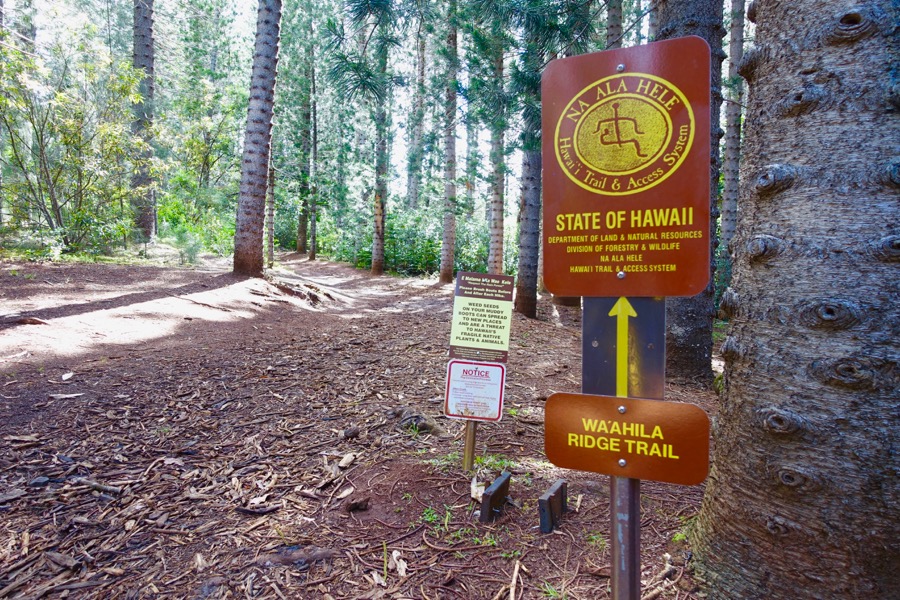
Directions to Wa’ahila Ridge Trail: The trail head for this ridge hike is in Wa’ahila Ridge State Park.
There appears to be a fork in the trail almost immediately, so head left. A bit further on, there’s another fork marked with a small sign. It’s a bit difficult to see because of all the graffiti, but the sign is an arrow pointing left for the trail.
Head left at the sign
A note about mud: When we went in late April, it hadn’t rained for at least a day or two, but there were still a couple spots that were slightly muddy.
We remembered that we had once attempted this same trail years ago but didn’t get very far because it started pouring rain. Definitely check the current and past weather, and be prepared for muddy shoes if there’s been recent rain.
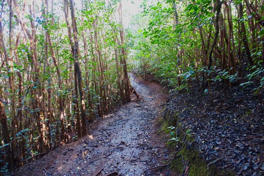
Watch your step! Parts of the trail may be muddy even if there hasn’t been much rain.
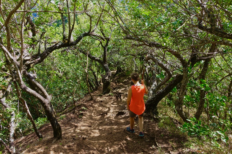
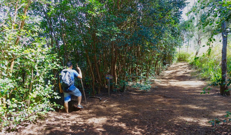
The trail sometimes has tree-cover and sometimes not
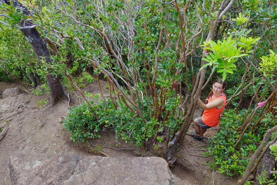
Following the pink ribbon on a short detour to avoid scrambling down a steep section
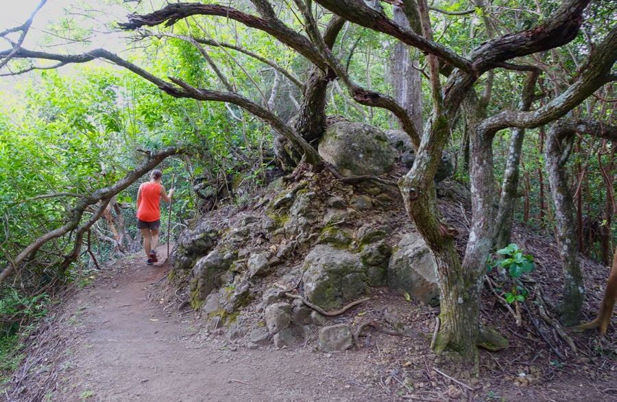
There are a couple spots with an alternative pathway marked with pink or orange ribbons. We didn’t always find it necessary to follow them, though.
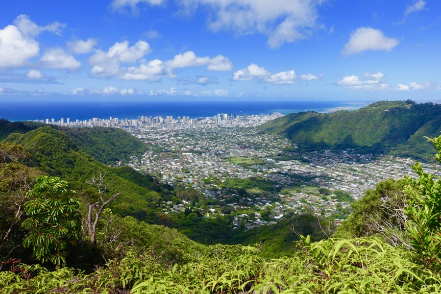
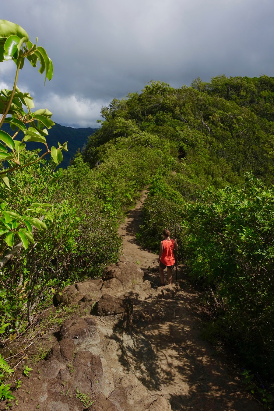
About 2 miles in, you’ll come to a clearing with a great view over Manoa Valley, out to Waikiki and the ocean.
This spot is actually much more interesting than the actual endpoint of Wa’ahila trail, so a lot of hikers turn around here. It’s not much further to the end, marked by a sign post.
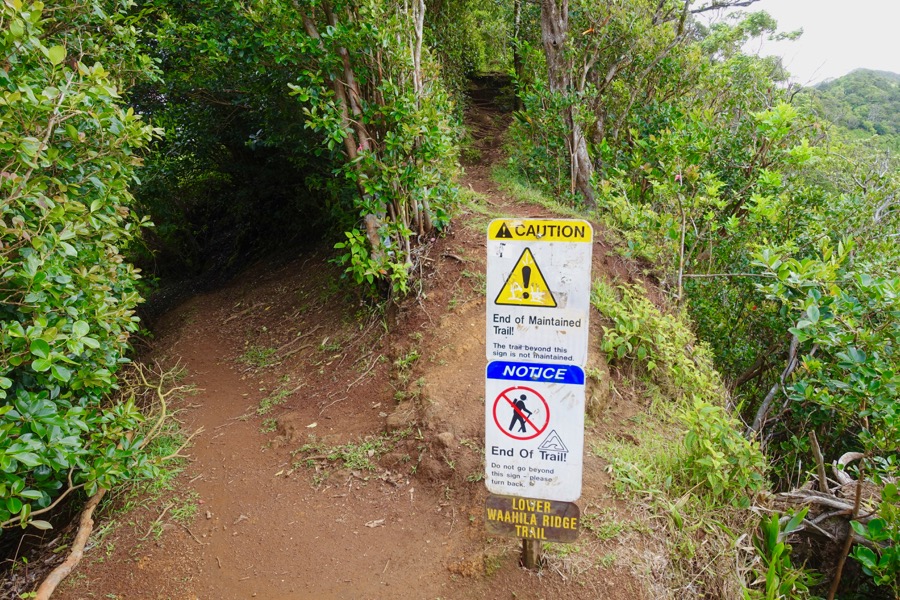
The official (and anti-climactic) end point
There is the possibility to continue left onto the lower Kolowalu Trail, which is much steeper and takes you back into the Manoa Valley.
The other option is to continue on to Mt. Olympus, which gets much more advanced (and is supposed to be off limits).
Getting to Wa’ahila Ridge Trail

To get to the hike, drive up the winding St. Louis Drive and then take Peter Street to Ruth Place, and enter Wa’ahila Ridge State Park.
Parking in the lot is free; hours are 7am to 7:45pm. The trailhead is just uphill from the parking lot.
What to Bring
- Water
- Hiking shoes you don’t mind getting dirty
- Plastic bag and change of shoes for the ride home
Like this post? Pin it for later or share with friends!