Self-Guided Hikes in Jardin, Colombia
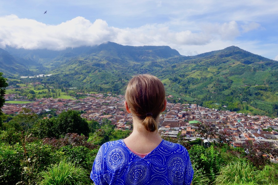
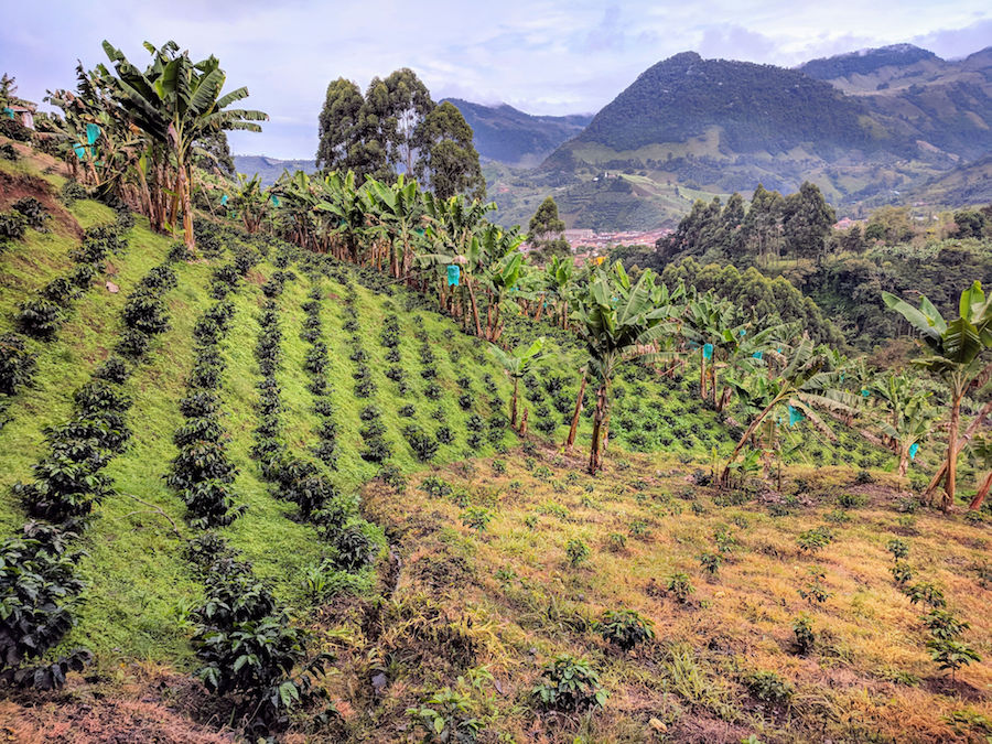
Jardin, Colombia is a pueblo patrimonio (designated heritage town) that has become a popular weekend trip from Medellin. Among the colorful little town’s many attractive qualities is its stunning setting in lush green mountains. Coupled with the mild climate of the Antioquia region, Jardín is perfect for outdoors adventures like hiking.
Hiking in Jardin: 2 Great Hikes You Can Do On Your Own
Our friends at Travel Life Experiences have already published the most popular hikes you can do around Jardin with a guide. They recommend booking with Jardin Eco Tours, located at Calle 10 #6-05 in Jardin.
For travelers looking to explore more independently, hiking information for Jardin is a little sparse (especially in English). So we did our research and tested out two of the best hikes you can do on your own.
Both of these hikes depart from Jardin town. Because of the hills (plus the altitude of almost 6,000 feet), they are moderately strenuous. You will not need any special equipment, though a walking stick may help, especially if it’s gotten muddy.
We recommend bringing:
– Sunscreen
– Water
– Walking stick (find one along the trail)
– Offline GPS map that includes unpaved roads, like the Map.Me app
– Sturdy, close toed shoes
– Long sleeves and pants or insect repellant
– Camera
Let’s get to the Jardin hikes…
Hiking to the Cristo Rey Overlook
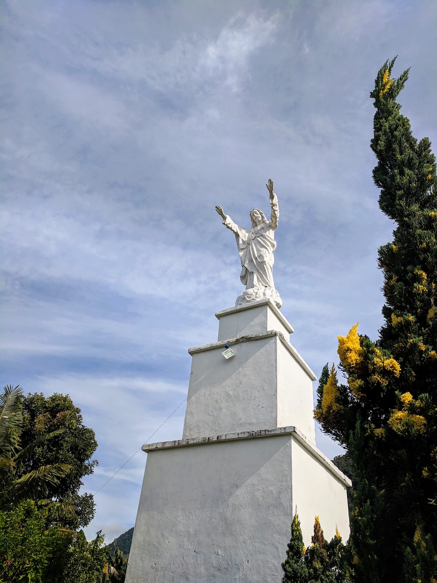
The Cristo Rey statue is an iconic landmark overlooking Jardín. You can see it from town (pictured on the hill, above).
There are several ways to reach the Cristo Rey statue and viewpoint. You’ll notice a gondola system going up the hill, however, at the time of this writing, it is not in operation. Instead, you can take a walking trail or follow unpaved roads to reach the summit.
We took the walking trail that starts from Calle 11, on the North side of town. This way is less than a mile up and takes no more than 45 minutes one way.
The rock path starts by heading downhill fairly steeply. Since there had been afternoon showers during the week that left some parts a little muddy, we picked up walking sticks along the way.
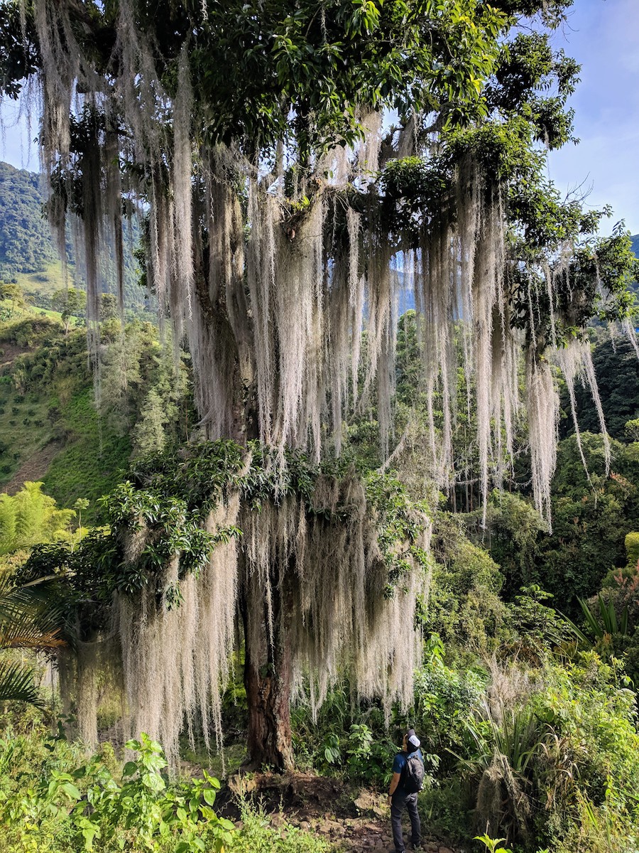
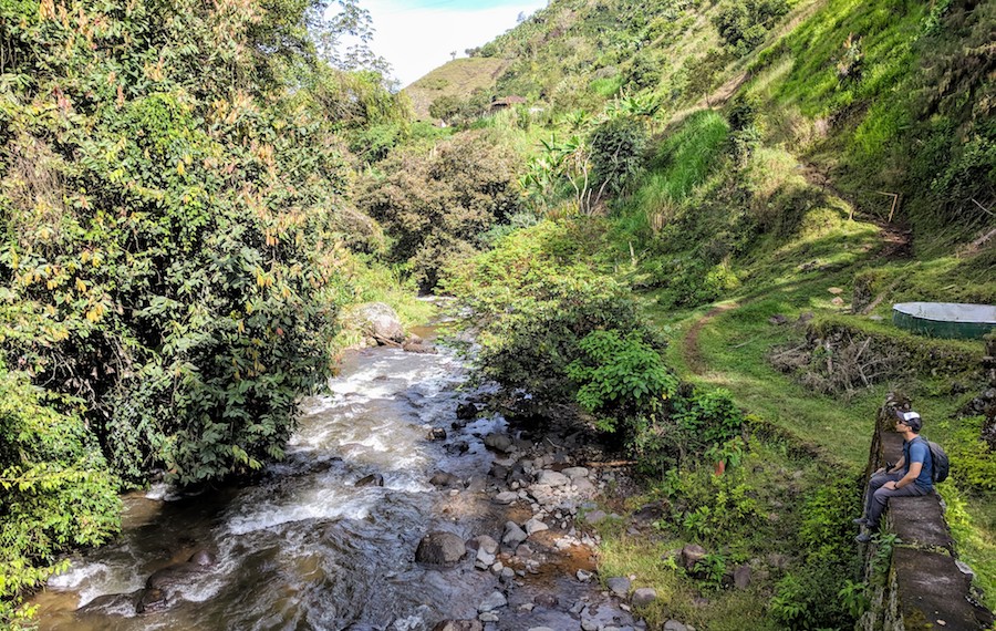
The steep start is definitely worth it when you come to the spectacular moss-covered tree on the way down to the river.
Once you pass the bridge the goes over the river, you can either go left or right. If you take the path to the right, it will soon take a sharp left and put you onto the ridge heading toward the statue.
We went to the right after crossing the bridge, which led us straight to a farmer’s house. Just take a right immediately before his yard to head up and behind the house, and keep follow the trail winding up the hill. The house does have dogs that may be on guard, though they didn’t give us any problems.
The trails on this hill are used by the local farmers, so be sure to give way when they’re carrying heavy loads on their backs or coming down with donkeys!
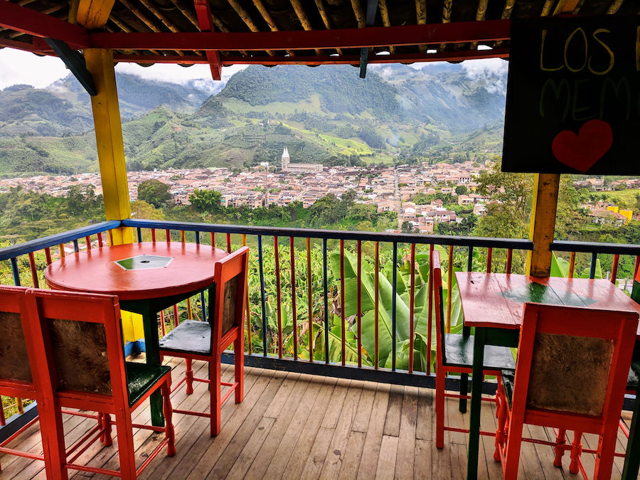
At the top of the hill, you’ll come to the viewpoint with cafe (opening hours unknown), gondola (currently closed), garden, and Cristo Rey statue.
You can return the way you came, or for a longer (and likely easier) route back, find the unpaved road North of the statue and return via the “Jardin – Tamesis” Road.
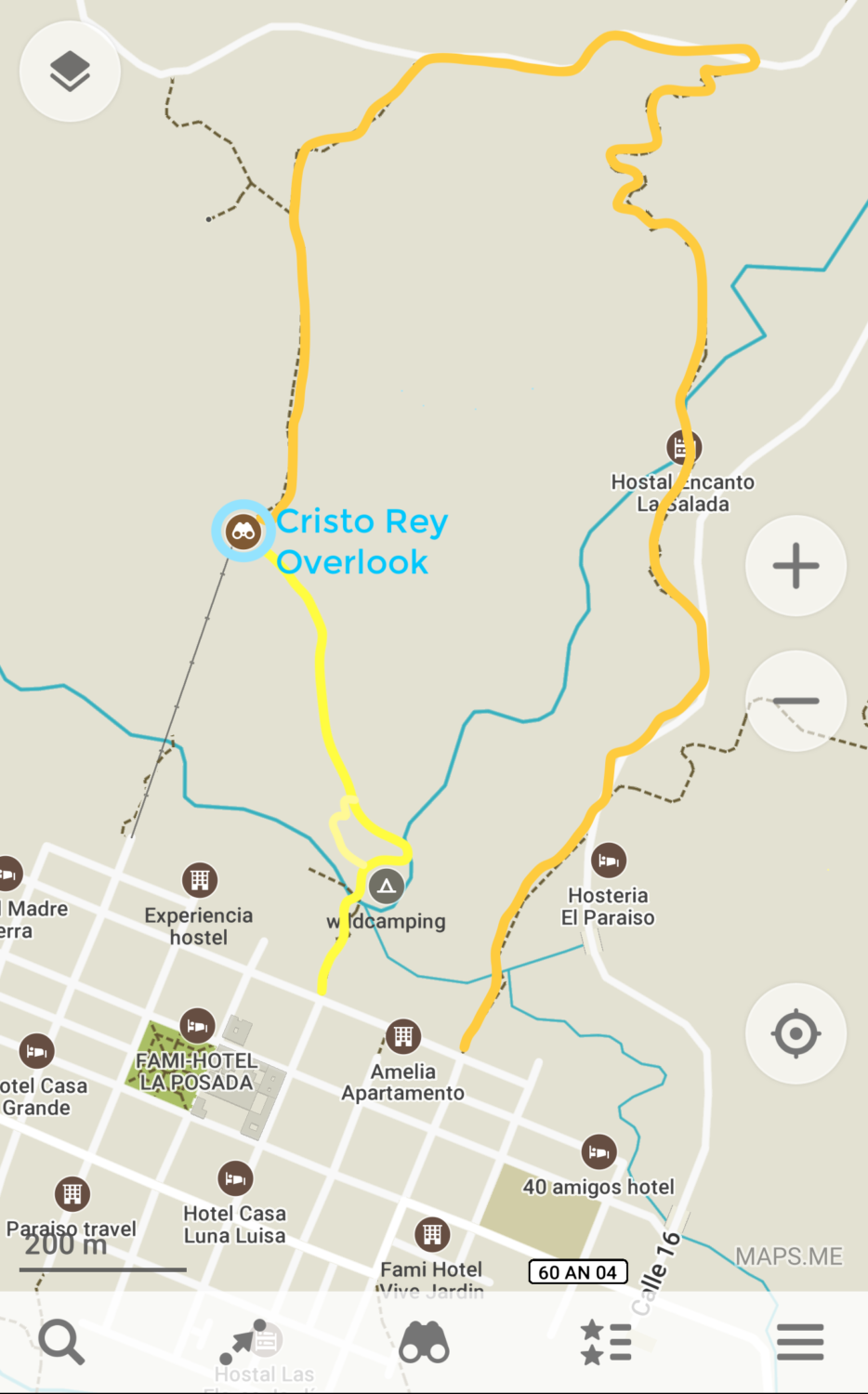
Jardin Hiking Map #1 – Below is a screenshot of the Maps.Me app with the hiking options outlined in dark and light yellow. Strangely, the walking path we took (light yellow) was not depicted on the original map so I just estimated that route.
For a longer route to waterfalls, see this wiki map.
La Garrucha Overlook and Waterfalls Hike
The other hike in Jardin we really enjoyed was a 4 mile loop that included La Garrucha and two waterfalls. The viewpoint called La Garrucha is serviced by another gondola, and the tram is still operation at the time of this writing.
To ride the gondola up to the cafe and viewpoint, you’ll find the station at the South end of Calle 12. Round trip rides are 7,000 COP (a little more than $2 USD). One way rides should also be possible, if you want to walk part of the loop back to town. It looked like the gondola starts running around 9:30 a.m. most days. It seemed that only one car (which looks like a wooden box on a zip line) can go at a time so you may need to wait in line if it’s busy.
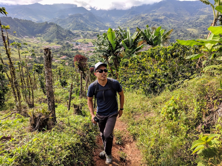
This 4 mile hike from Jardín is on unpaved roads with very little traffic. It can be done in less than two hours, including stops for photos and a couple optional detours.
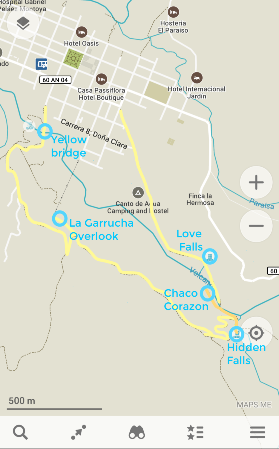
To begin, we took Calle 9 South and down to the yellow bridge over the river. From there, the road starts to wind up to the right and we took the second left.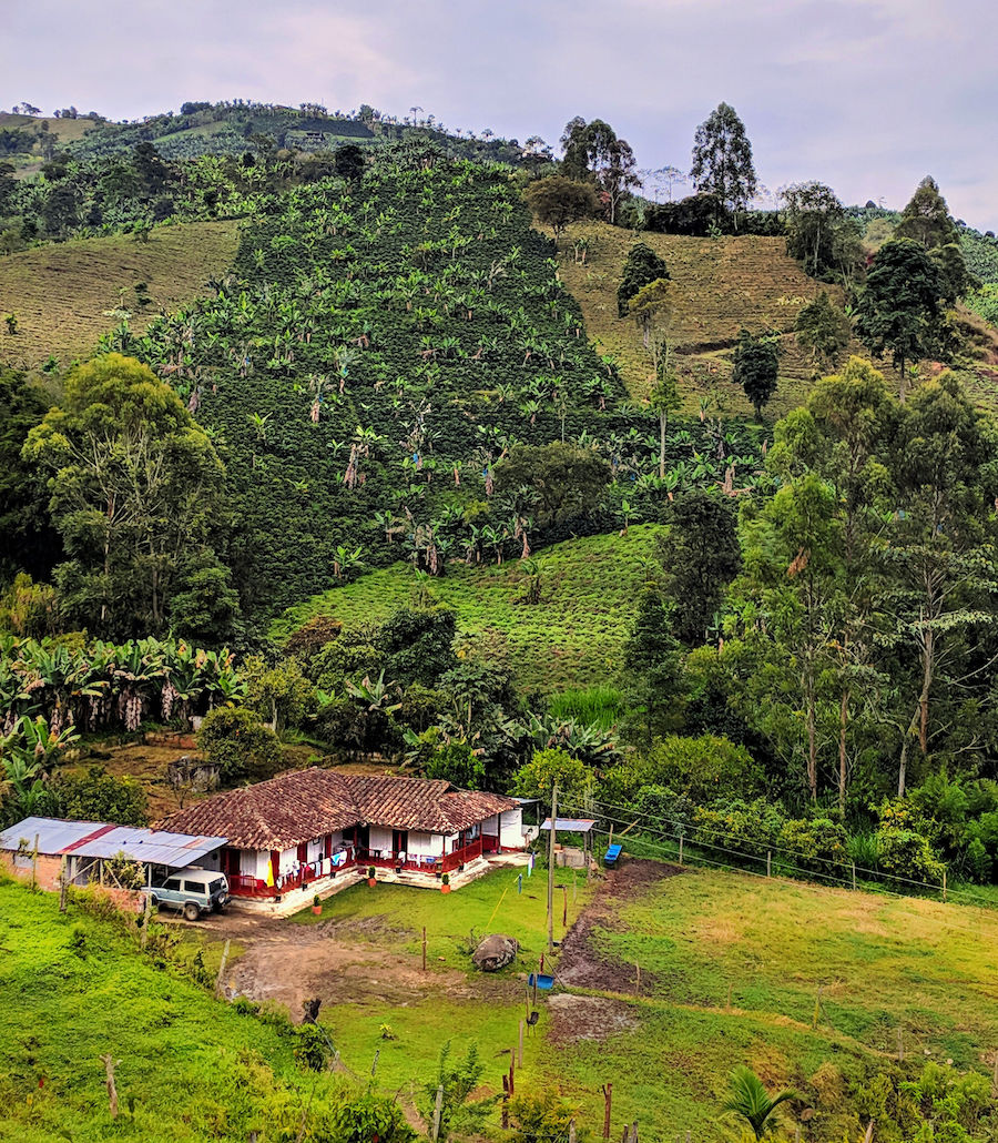
Continue uphill on the road until there’s a hard left. At the next junction, go left again. There is a sign for La Garrucha though it’s not particularly obvious. Walk through the grounds of the cafe to get to the viewpoint and the gondola arrival area. When we arrived on a Saturday morning, it was empty except for some dogs and a couple local hikers.
Return to the road you came in on and continue straight for a good while until you reach a Y in the road.
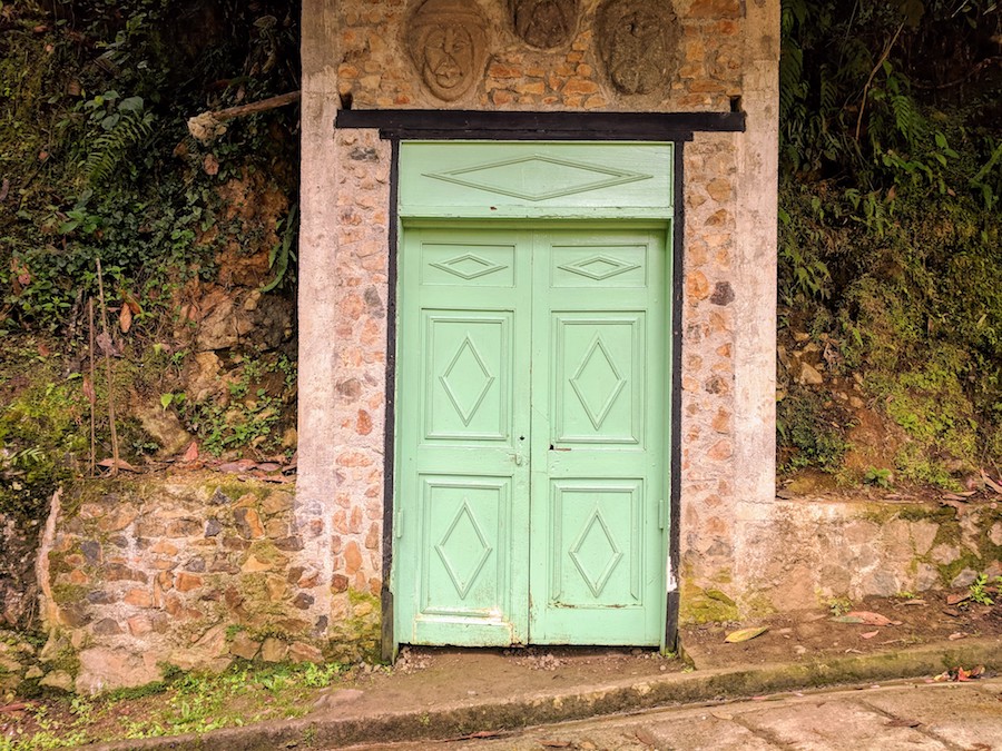
Take a left at the Y to start winding downhill. At the bottom of the hill is the river, an eco tourism complex, and two potential detours. Also, there’s this amazing door in the side of the hill!
Your detour options are nothing spectacular. If you take a right before crossing the river, you can get a glimpse of the Hidden Falls. There was a sign for it and a locked gate that prevented us from seeing it up close, so we assumed it was probably part of the eco-tourism project. If you take a left before crossing the river, you can walk to Chaco Corazon, a swimming hole and cafe (open hours unknown). Retrace your steps to get back to the bridge.
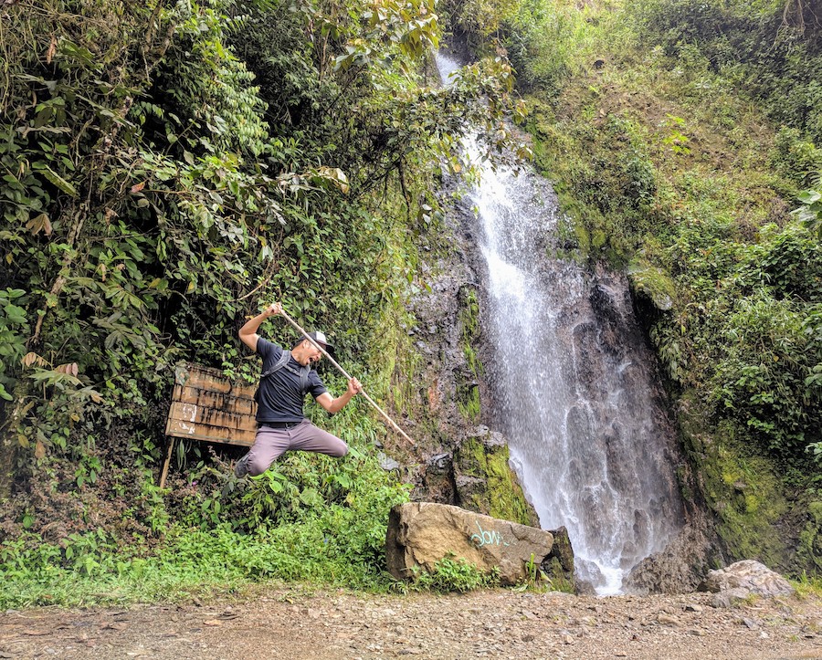
When you finally do cross the river, you’ll soon come upon a nice little waterfall by the name of Cascada Amor (Love Falls). It’s right along the road so you can’t miss it.
There’s more where this came from! Visit the #JumpingJedd Gallery.
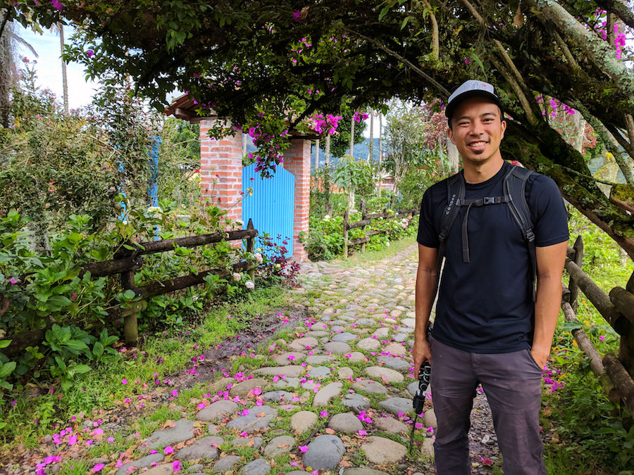
Follow the road back toward town and be sure to stay right to enjoy the most scenic route via a tree-lined stone path, Sendera La Herrera. This will lead you to the corner of Calle 13 and Carrera 6 on the edge of town.
Jardin Hiking Map #2 – Here, I added the loop to La Garrucha and the waterfall on another Maps.Me screenshot.The optional detours are in darker yellow. This is where the app really comes in handy because some of the unpaved roads in this route do not show up on Google Maps.
If you’re looking to fuel up after your hike, our favorite after a week of eating in Jardin was Destino Silvestre on Calle 10 and Carrera 2. It’s a relatively new little cafe with just a handful of specialties that are all hearty and delicious. They serve a couple variations of a “hashbrown sandwich,” or a veggie burger on homemade rolls with plantain chips. Their smoothies are also amazing.
Where we stayed: Apartamentos Primavera has nice Western-style apartments with kitchen, hot water, and internet. Conveniently located two blocks from the main square. You can’t really escape the loud motorcycles and trucks in the center of town, so it helps to avoid street level and bring earplugs.
Like this post? Pin it for later or share with friends!






I finally got around to viewing the photos from my travels to Jardín last year and remember how helpful your guide was in my hikes. I made a pdf copy and placed it on my phone and it gave me the confidence to complete these hikes that were not well marked at all.
Thanks so much for your guides!
That’s great to hear! Thank you so much for taking the time to let us know.
Thank you for this post!! We followed both hikes (La Garrucha and Waterfalls first, and then Cristo Rey in the afternoon) and it was great! Your tips and maps were the perfect guide and we really enjoyed this day.
We’re so glad to hear that! Thank you for taking the time to send us an update on your trip.