5 Favorite Places to Run (or Walk) in Salem, Oregon
Updated: Summer 2019
This is part of our series, Rediscovering Salem, which shares the best local spots in my Oregon hometown. This time we’re featuring the best places to walk, run, jog, or hike within city limits.
Whether you’re visiting Salem and hoping to stay active on your trip, or you’re a long-time resident looking for some new routes to mix up your routine, these are some of my favorite places in Salem to go for a run. I’ve included some of the popular classics (Riverfront Park, Bush Park, and Minto Brown Park) as well as a couple lesser-known, hidden gems.
Click on any of the map images in this post for a more detailed, interactive map
of the route through MapMyRun.com.
Looking for a great place to stay in Salem? Read our Salem Accommodations Guide >
* Get access to our Salem map here *
Riverfront Park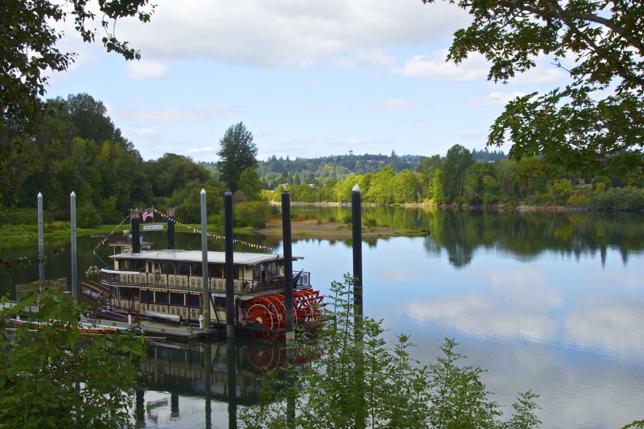
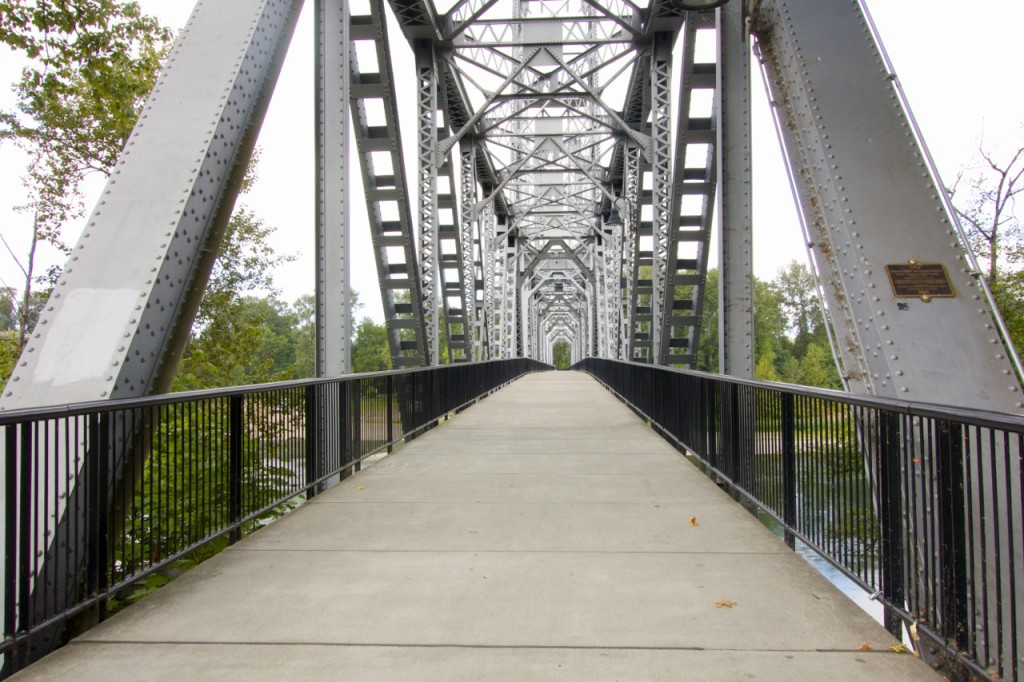
This much-needed riverside park got its major facelift when I was in my teens. It became a favorite spot when I was in high school to enjoy a summer evening or watch the fireworks on the 4th of July. Since I moved away, the city transformed a nearby railroad into a pedestrian bridge which now connects Riverfront Park to Wallace Marine Park.
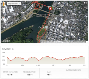 Apart from the bridge exit on the Wallace Marine side, the route I’m featuring here is quite flat. I opted not too include too much mileage in Wallace Marine Park because it can sometimes get a little sketchy and I usually just run through the long parking lots which is not particularly interesting.
If you’re wanting to add more mileage to this route and don’t mind stopping at a few crosswalks, you can head up Court Street and run around the State Capitol or neighboring Willamette University.
Update: Construction of the pedestrian bridge is completed at the south end of the park, and the bridge is officially open! This means you can connect from Minto Brown Park (see below for more routes) to Riverfront Park, and vise versa. The options are plentiful!
Bush Park
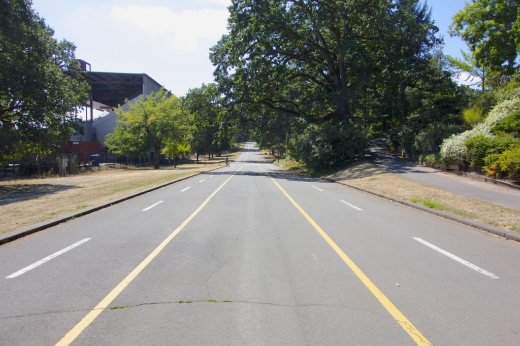
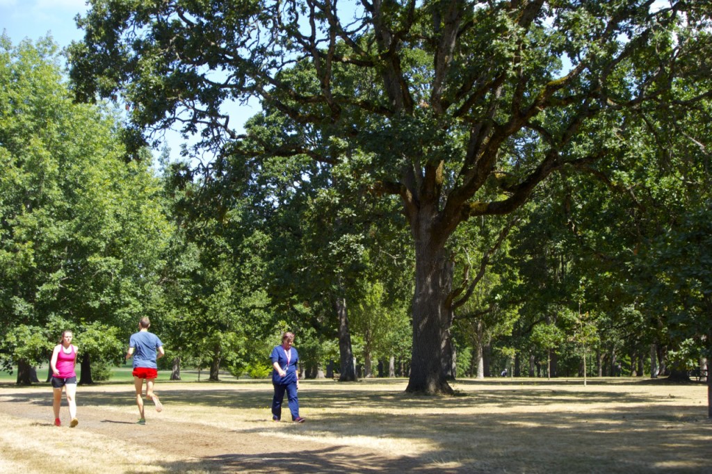
Bush Pasture Park is another popular, well-used park in the heart of South Salem. It is home to Willamette University’s track (which apparently is no longer open to the public), the Bush Barn Art Center, a number of sports fields, playgrounds, Soapbox Derby races, and the annual Salem Art Fair.
2 Mile Loop
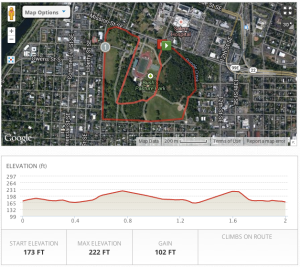 A bark dust trail around the perimeter of Bush Park is about 1.3 miles. To see more of the park, I recommend this 2 mile loop which also winds around the middle of the park. Back in high school, I used to run hill repeats with the track team on the inclined soap box derby track, so that’s one way to add another dimension to your work out.
Park to Capitol Loop
Although running into town means more stopping at cross walks, there are plenty of interesting things to see on this loop. I recommend parking at Bush Park to start. After making the loop around the park, you’ll head toward downtown to circle the State Capitol building, returning through Willamette University and the Salem Hospital. Feel free to take detours around the Capitol or the school as both are great places to explore.
Croisan Scenic Trail
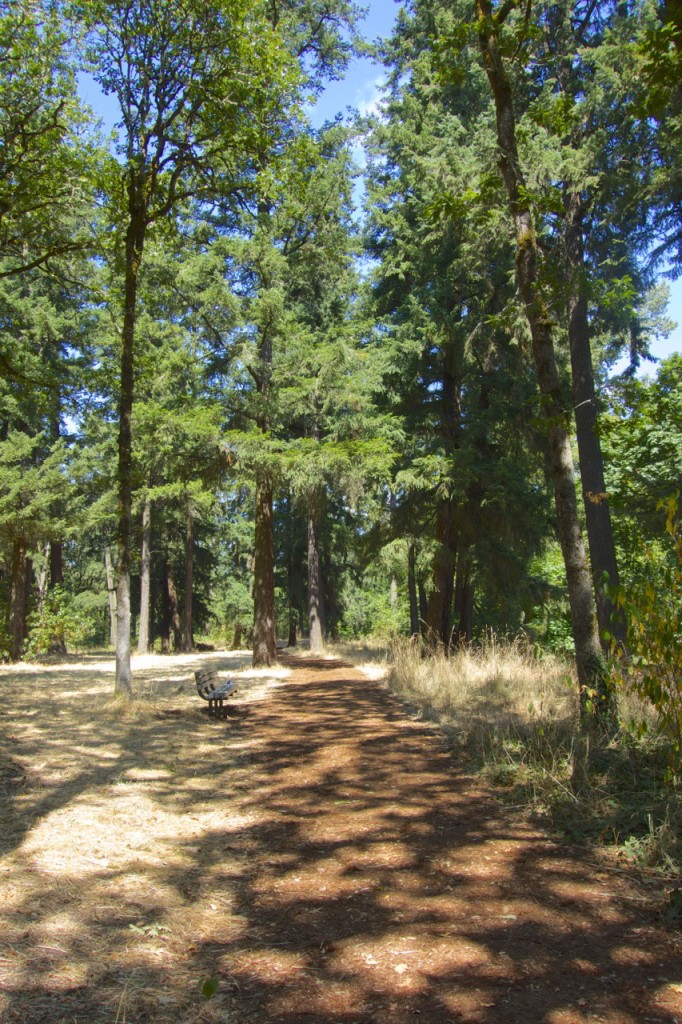
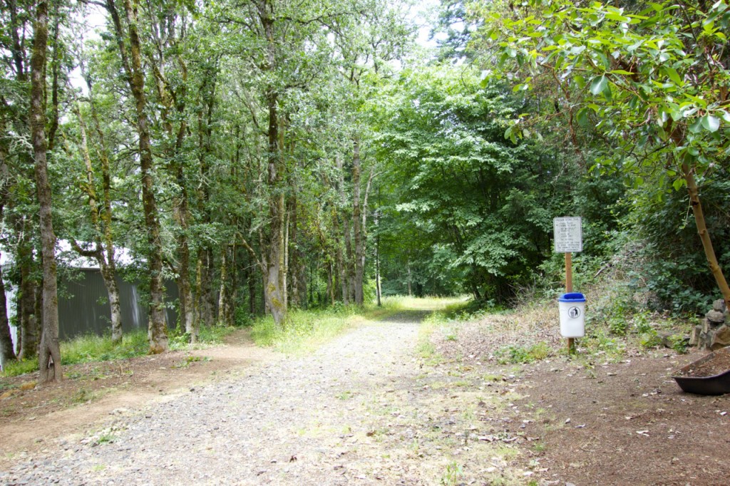
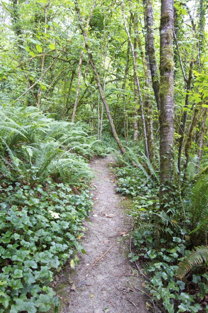
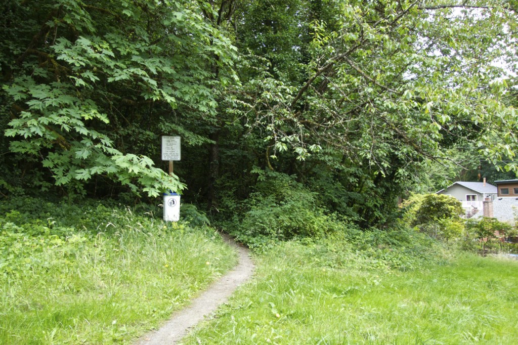
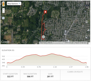
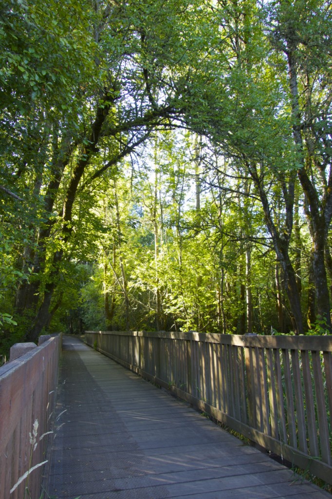
This route on the Croisan Creek Scenic Trail was completely new to me. We were tipped off to it by someone who lives in the Croisan Creek neighborhood, not too far from Sprague High School. Although very short, it’s one of the coolest trails I’ve seen in the city. It weaves through a residential area yet it’s so wooded, you often feel you’re out in the middle of a big forest.
I did a little online research and found that this trail was created privately with the approval of the City of Salem and there is actually a second, meadow trail nearby which can be done in conjunction with this scenic, wooded trail. To do the mapped route only, park in the neighborhood at either end of the trail.
The trail itself is mostly dirt with a simple trailhead to start with and then no other real signage along the way. Our rule of thumb was to follow the largest trail (there are quite a few side paths) and when in doubt, take a right at any fork while heading South (left while heading North).
Typically this would be an out-and-back route, which is what we did. But to make it a little more interesting, you can make it into a loop by heading back through the neighborhood for a bit (as pictured in the map).
It is a bit secluded so I recommend going with at least one other person. Another side note: there are a couple geocaches out there, too.
Minto-Brown Island Park
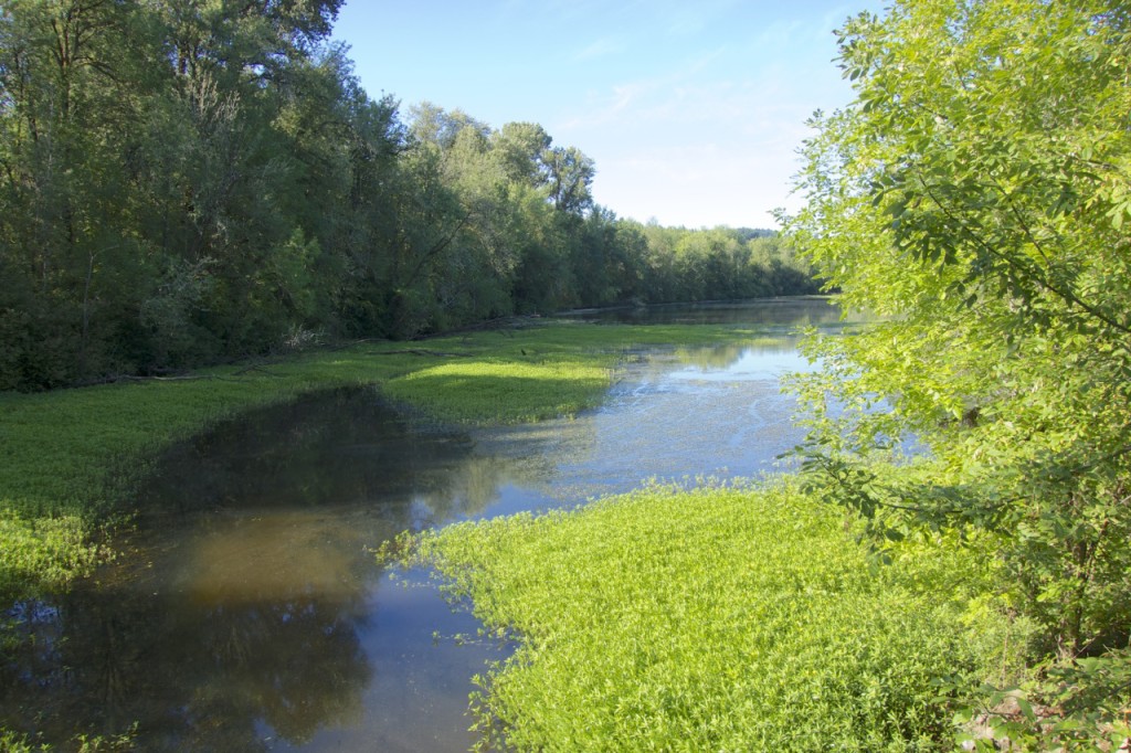
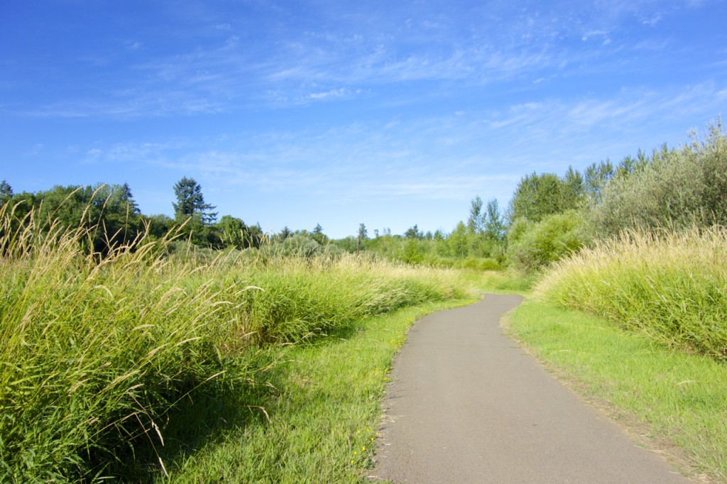
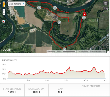
This is one of our favorite parks in Salem because it feels mostly untouched. From open fields and overgrown orchards to ponds and rivers, this is a taste of the Willamette Valley’s fertile farmland within city limits.
Update: The park recently updated its signage with way-finding markers at every junction, making it much easier to find your way around these nearly-900 acres.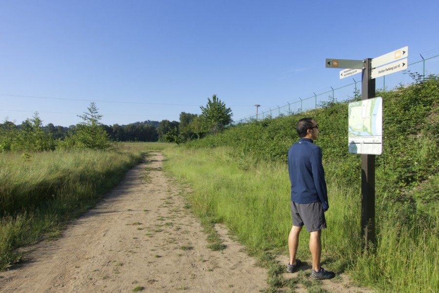
Side notes: Some parts of the park are prone to flooding in Spring, so trust the posted signs if it says the path is closed. I made the mistake of trying to circumvent a flooded walkway by slushing through the marshy grass one time- not worth it. Also, although I always feel safe running through Minto, some parts are a bit isolated so it’s smart to go with at least one other person (or a dog). I know there have been a few incidents in the past.
Main Loop
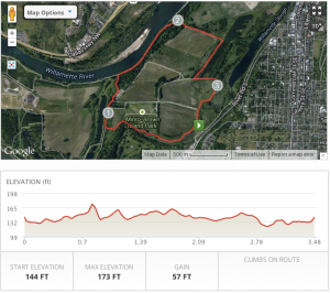 For this loop, you can park either at the first parking lot on your right when you enter or keep driving until the main road ends in the larger parking lot (closer to the river).
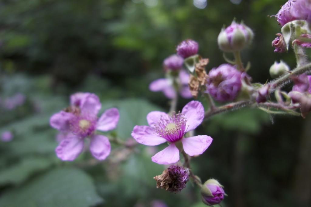
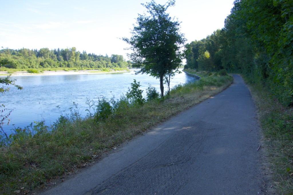
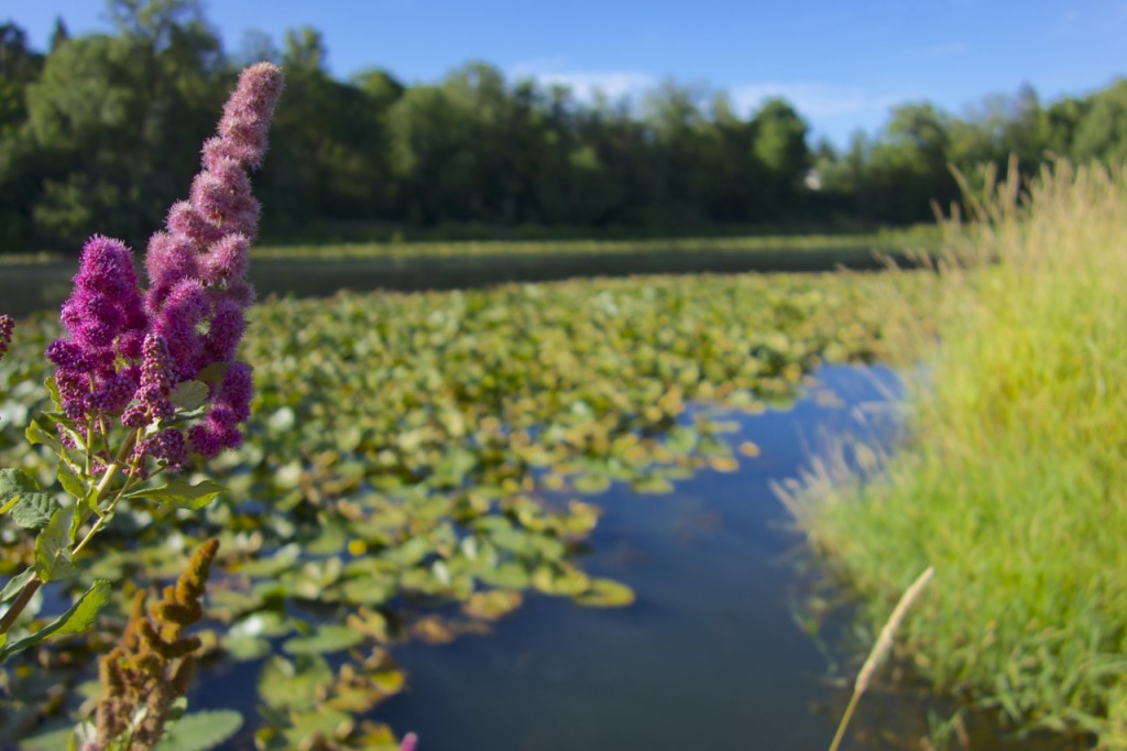
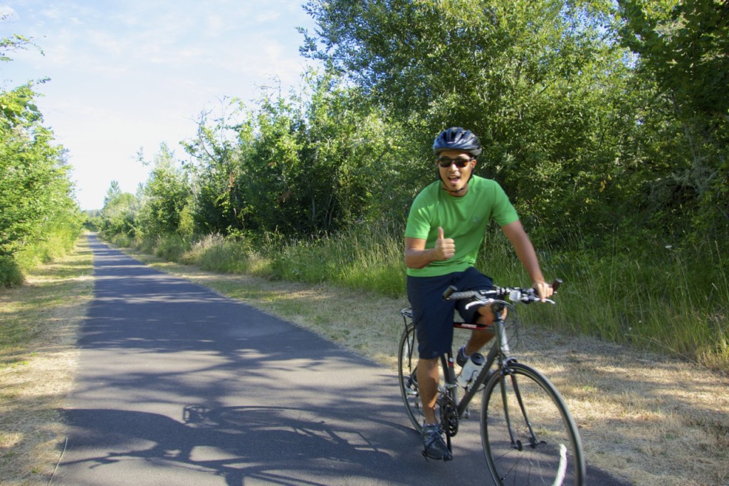
This route will you take you around the perimeter of what I consider the “main” area of Minto-Brown. You’ll pass open fields, tree-covered lanes with blackberry bushes, a duck pond, and the Willamette river. The paved path is great for running, walking, and biking, and it is somewhat manageable on rollerblades.
Secret Loop
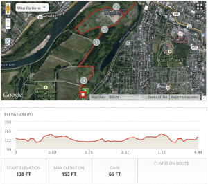 Update: This route is now officially open to the public and no longer secret! Construction of the pedestrian bridge is completed, which means you can continue from Minto all the way to Riverfront Park.
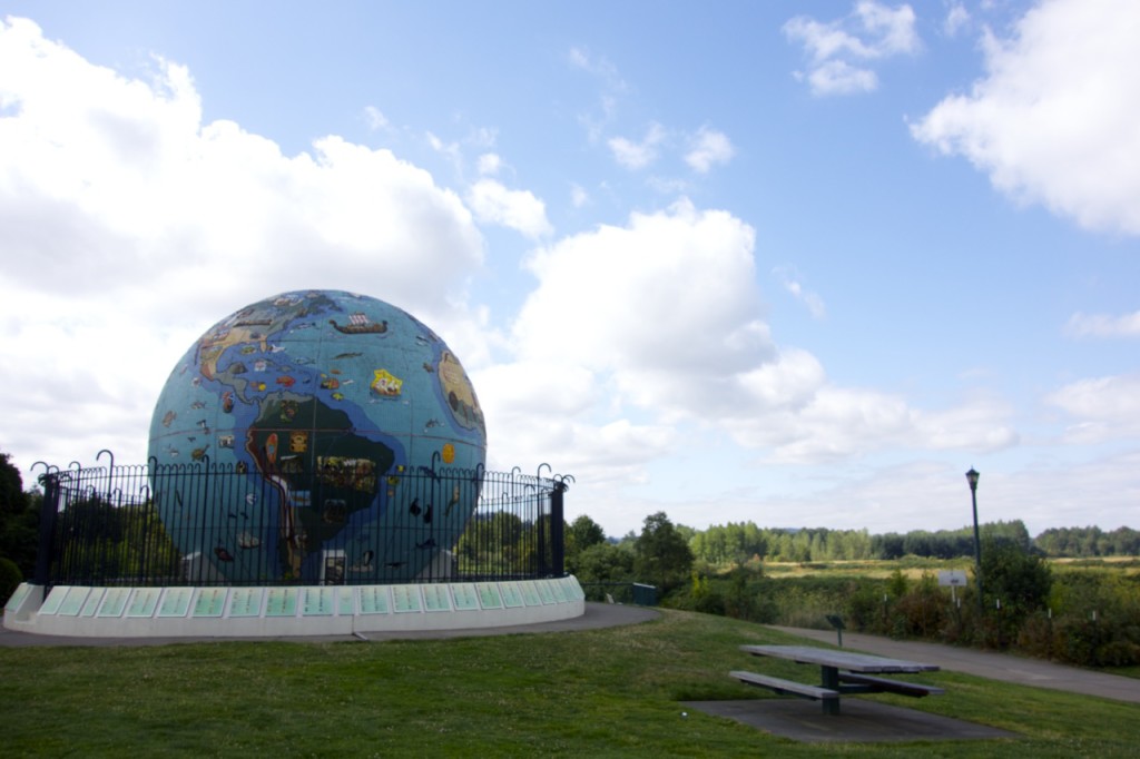
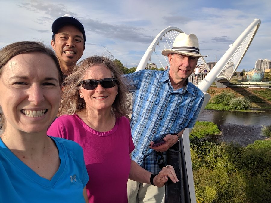
Walking across Salem’s newest bridge with family
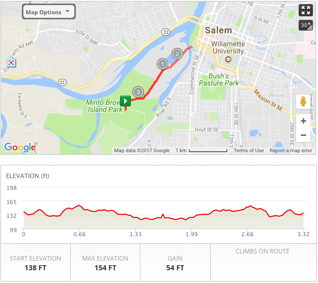 Here’s a new out-and-back route that connects the two parks. Of course, you can add on with any of the loops in Minto or around Riverfront.
The Back Way
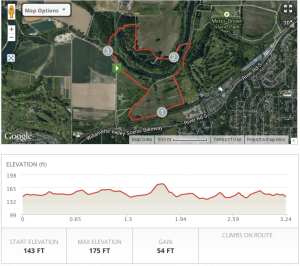 I don’t know how many people are aware of the back little parking lot for Minto-Brown park. It’s hidden off of Homestead Road, which in itself is a decent place to run- picturesque farmland with the exception of a few big semi trucks passing through. If you’ve been to Minto often, sometimes it’s nice to see the park from a different angle.
When you enter the park from the back lot and take a right, you’ll pass through an old grove of hazelnut trees to start the route. Toward the end, you’ll find yourself on a wide, shady road which then brings you out onto Farragate/Homestead Road. You can either take a roadside dirt trail or follow the main road back to the parking lot.
Eola Bend Loop (NEW)
Thanks to the new signage around Minto, we were able to discover a completely new (to us) corner of the park. Eola Bend is its own little park with unpaved trails and river-side picnic tables. You can access this loop from Minto’s main parking lot or the small lot off Homestead Road.
This loop will take you through fields, forest, and along the river, and it is probably the least populated section of the whole park.
West Salem Hills
I hesitate to post the rest of these routes because, unlike the others I listed, they’re predominantly on main roads without that picturesque park or countryside feel. Most likely the roads have gotten even more busy since I moved away. However, I grew up in West Salem and ran these areas often, so I thought I might as well include them. If you’re in training or just want a bit more challenge, the hills in West Salem are the place to be.
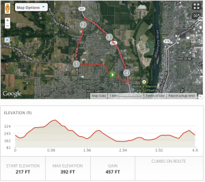
4.9 Mile Loop
For this loop, you can start anywhere but I set it up so you’d park in Orchard Heights Park. The main climbs are on Orchard Heights Road so be prepared! If memory serves me correctly, there is no sidewalk for part of the Doaks Ferry Road but the shoulder is decent.
5.9 Mile Loop
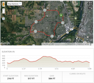 Here’s another route that features Orchards Heights Road and several other main West Salem roads. There is usually a sidewalk as well as some good, long hills to climb.
My favorite part is cutting back through the neighborhoods on Kingwood Drive.
Where to Stay in Salem
Looking for a place to stay in Salem or nearby? These are our best recommendations for where to stay in Salem, Silverton, and McMinville (Disclosure: some of these are affiliate links, which means we get a small commission if you book, at no additional cost to you. Thanks for supporting the blog by using our links!):
– To be honest, the hotels in Salem aren’t very well located, with the exception of The Grand Hotel (aka Phoenix Inn Convention Center) in the heart of downtown.
– The Oregon Garden Resort on the outskirts of Silverton is the nearest resort with its own extensive gardens. We reviewed it a couple years ago. Click here to check availability and prices >
– McMinville has the very iconic and artsy McMenamins Hotel Oregon – great atmosphere and rooftop bar in downtown. Click here to check availability and prices >
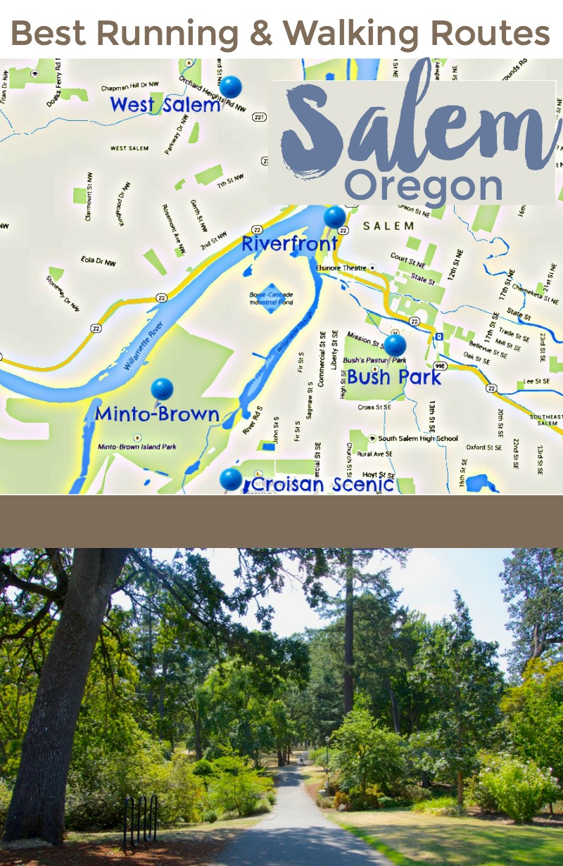
What travel restrictions and rules are in place in Oregon?
Find post-pandemic travel updates for Oregon here:
What you need to know about Oregon travel right now
Read more from the Rediscovering Salem series here:
3 Fantastic Day Trips from Salem
Top Places to Enjoy Salem’s Summer Harvest
Best Coffee Shops with Wifi for Work or Studying in Salem, Oregon
Favorite Spots to Hang Out in Salem, Oregon
Best Oregon Day Trip Destinations & Itineraries
Best Breakfast Restaurants in Salem Oregon
Best Willamette Valley Wineries Near Salem Oregon
Do you have anything to add? I’m always looking for new places to run. Questions or comments? We’d love to hear from you in the comments section below.





Thanks for sharing! I am also new to Salem and have only been to Minto-Park.
I plan on visiting Croisan Scenic Trail and the one right behind Sprague HS but heard that there is a ton of poison oak behind that one.
Hi Joe. Hope you’re enjoying Salem! It’s definitely a good idea to be able to recognize poison oak when hiking around the valley. When we’ve done Croisan Scenic Trail, it wasn’t a risk if you stay on the trail.
This is a great resource, thank you! I’m new to Salem and looking forward to explore it.
Thanks, Cherie. Glad it can be helpful to you!