Google Maps Secrets Every Traveler Should Know
If you’ve ever felt a little lost or overwhelmed in unfamiliar destinations, you’re not alone. Experiencing new things is part of the thrill and beauty of traveling, but along with that comes unanticipated changes, uncertainty, and stepping outside your comfort zone.
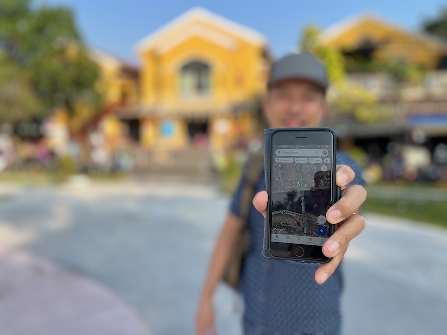
My husband, Jedd, and I have spent over a decade traveling the globe as digital nomads. When I think of one tool that has changed the game for us, it’s Google Maps.
This is NOT just about getting from point A to B.
There is so much more than getting directions that many travelers completely miss. I’ve found that the lesser-known features of Google Maps can super-power your trip planning in ways you might not have imagined.
Google Maps secrets that every traveler should know
Here are 7 things you may not realize you can do with Google Maps that will improve your travels.
1. Discover hidden gems
This beautiful coffeeshop in Da Lat, Vietnam was highly rated by locals on Google Maps
There’s nothing like finding those off-the-beaten-path spots that aren’t packed with tourists.
Google Maps is the primary way I uncover hidden gems and local favorites that don’t always make it into the guidebooks and top ten lists.
One of the benefits it has over tools like TripAdvisor is that places on the map aren’t only rated and reviewed by tourists – locals weigh in as well.
By simply browsing the map, I have stumbled on restaurants, parks, and attractions we never would have found otherwise. With the map’s search filters, it’s even faster to find things to do that suit our preferences and budget.
2. Save and organize your trip research
Imagine all the hours you spend on trip research going to waste when you walk right past the places you had wanted to visit. (Hidden gems aren’t always obvious to spot from the street, especially in a city you’ve never been to before.)
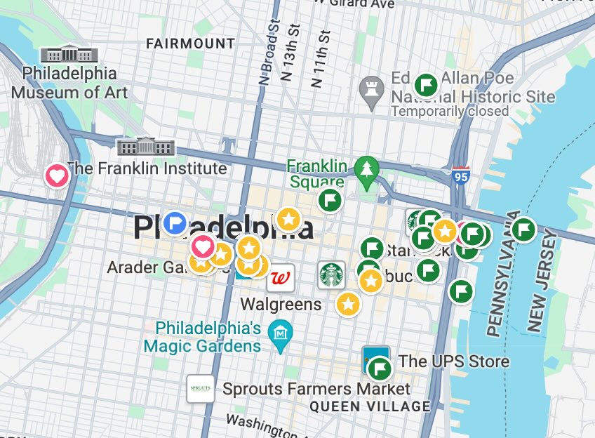
Google Maps allows you to save the locations you want to visit and even label them with custom symbols or notes.
I use this “save” feature CONSTANTLY.
I do most of my research on my laptop via web browser, which automatically syncs to the map app in my phone. This way, I can see all the places we want to visit in a visual way and navigate easily when we’re out and about.
This system is what allows us to keep a really flexible travel schedule. We can make sure to visit all the places on our map when we feel like it, without necessarily planning out daily activities hour by hour.
Google Map point saving is the main tool I use for planning our itineraries, and it also helps us track places we’ve already been.
TIP: If you have my Google Maps Travel Hacks course, you can see exactly how I utilize these features with real world examples and step-by-step tutorials.
3. Street View previews
Ever booked a hotel only to find that the neighborhood was more sketchy than you expected?
Or started out on a walk across town and then realized the route wasn’t pedestrian-friendly?
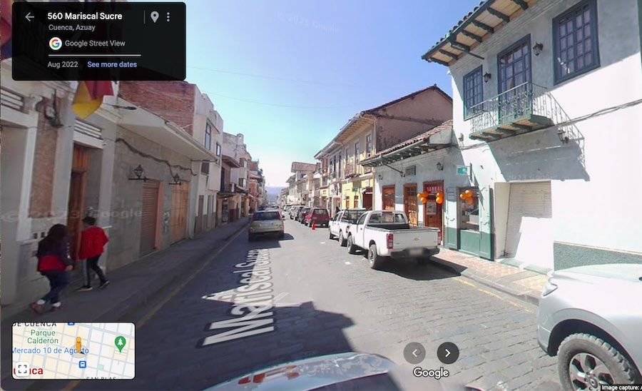
With Street View, you can virtually explore an area before going there yourself. This can also help you avoid getting lost if there’s a particular storefront or entry way that you’ll need to recognize.
The Street View feature in Google Maps can help you make better-informed decisions about where to stay and what areas you might want to explore. This alone can mean the difference between an unpleasant experience or a highlight of your trip.
4. Public transportation made easy
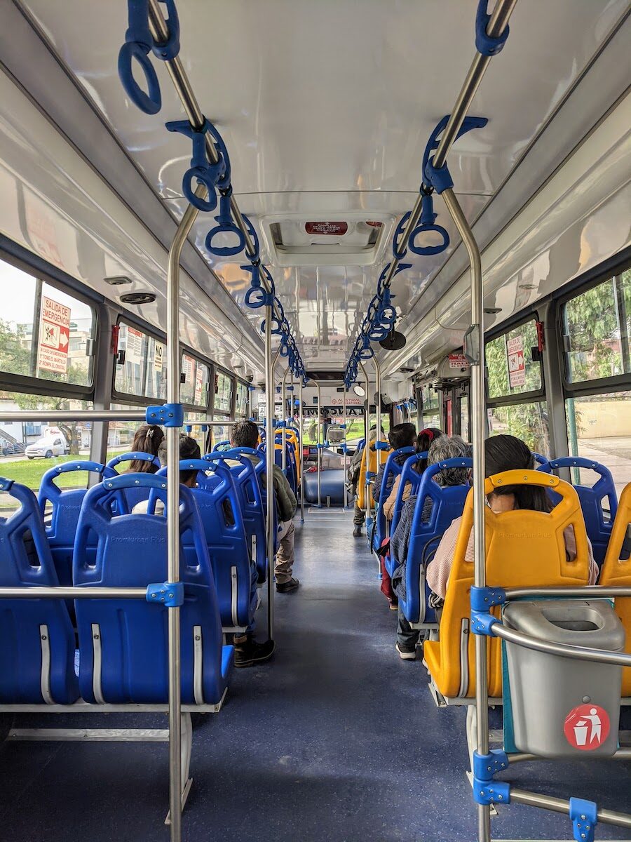
Navigating public transit in a new place can be daunting when you’re not familiar with landmarks or how the system works. We rely heavily on Google Maps to make sure we’re getting off at the right stop when riding buses, metros, or trains around the world.
In many cities (not all), Google Maps has up-to-date bus and train schedules.
It can provide you with the best routes according to the time and day that you’re traveling. You’ll have helpful info like:
– an estimate of how much time the trip will take,
– when and where to catch the bus/train,
– how many stops until you get off,
– and sometimes even how much the ticket will cost.
This real-time data is invaluable for efficient planning and feeling more confident getting around in unfamiliar places.
If you’ve never used Google Maps for public transit, I have a step-by-step guide in my course so you can take advantage of this feature with ease.
5. Offline maps to save the day
Traveling to areas with limited or no connectivity?
Want to make sure Google Maps doesn’t eat up all the data from your international phone plan?
Google Maps allows you to download map data of specific areas so that you can use many of its map features, even if you get disconnected from Wifi or cell service.
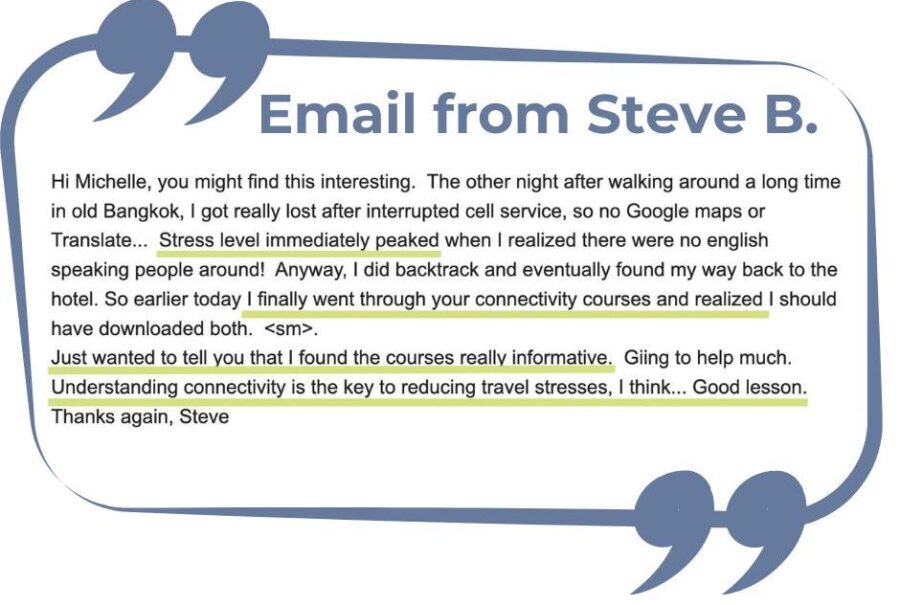
While you won’t have real-time data, you will always be able to see where you are (that little blue dot with your GPS location). Simply having a map handy can be a lifesaver, as one of my students shared:
I explain how to best use offline maps to ensure you’re never truly lost in both the Google Maps course and my WorldWide Connectivity course. (Both are included in our Membership Toolkit).
6. Real-time location sharing
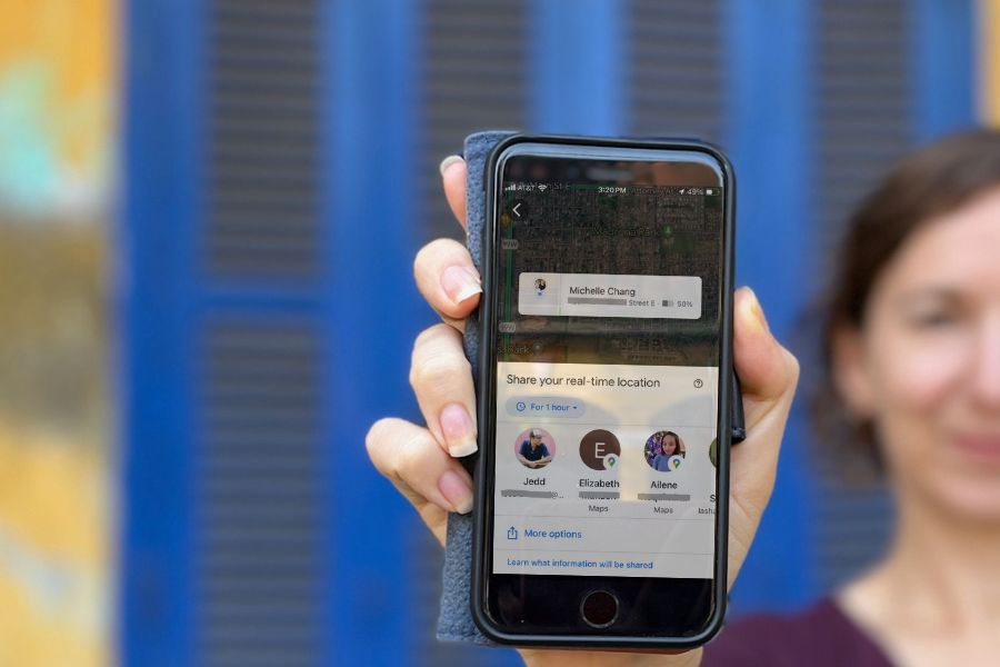
Google Maps’ location sharing feature lets you share your real-time location with friends or family for a specified period of time.
This is a great way to let loved ones know where you are for peace of mind, but can also be helpful when meeting up with fellow travelers.
Instead of trying to describe your exact location in a giant park or a zoo, for example, you can send a link to the GPS location of your phone.
This way, even if you move, your friends will see your location change on their map and still be able to navigate toward you.
TIP: If you have the Google Maps Travel Hacks course, use the lesson called “Send directions” to review the different ways to share map points and mobile locations with others.
7. Make better informed decisions with reviews and photos
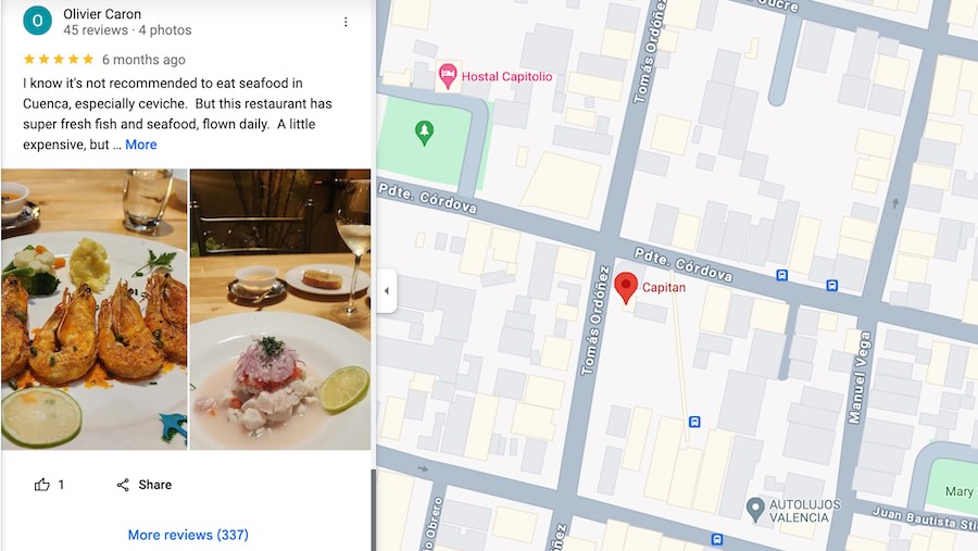
As I touched on earlier, user-contributed reviews are a goldmine of information for travelers. In addition, user-contributed photos are worth a thousand words.
Whether it’s checking the latest reviews of a restaurant or the photos of a tourist attraction, insights from the reviews and photos in Google Maps play a huge part in helping us decide what places are worth our time and money.
With menu photos and reviews, I know we can stay within our budget, order dishes we would enjoy, and have low risk of unpleasant surprises – all before we step foot inside.
I go into more depth on the strategies I use to interpret and use these reviews to our advantage in my Google Maps Travel Hacks course.
Here’s a sneak preview of even more things you can do with Google Maps:
Your next steps with Google Maps for travel
With Google Maps, you’re not just equipped with navigation tools, you gain a helpful companion for improving your trip plans all around.
The features I mentioned above are not rocket science to figure out, they just might be one or two steps beyond what you’re already doing with the app. If you don’t want to scour the internet for how to’s, I can show you everything you need to know step by step.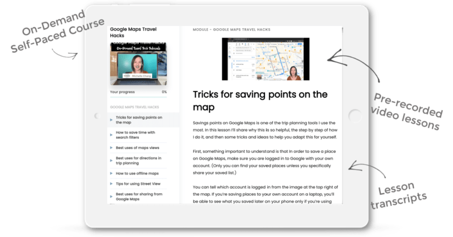
As I’ve mentioned, my Google Maps Travel Hacks course is designed to dive deeper into these features so you can learn exactly how to leverage them for an even richer travel experience.
The bite-size video tutorials are pre-recorded, so you can start at any time and go through at your own pace.
Here’s a quick overview video to show you what the course looks like when you enroll:
Like this post? Pin it for later or share with friends!

